Earlier this year, Synthetaic made headlines for successfully tracing the path of a suspected Chinese surveillance balloon from its origin on Hainan Island all the way to South Carolina, where it was shot down by a U.S. fighter jet. At the time, China asserted that the balloon’s journey into U.S. airspace was an isolated event.
.webp?width=976&height=757&name=_130208382_6b7de748-2baa-4f24-b025-b73dd9acdd7e.jpg%20(1).webp)
Of course, having already found the balloon in PlanetScope satellite imagery, our RAIC platform was positioned to put that claim to the test.
In collaboration with BBC investigative reporters, we set out to find evidence of a suspected large-scale surveillance balloon program out of China. As shared on a recent episode of the documentary series Panorama, we believe we’ve found it.
Background: The First Great Balloon Search
The surveillance balloon that traversed the United States in January and February 2023 sparked an international incident — the White House called it “unacceptable” and a “violation of our sovereignty,” and Secretary of State Anthony Blinken postponed a long-awaited diplomatic visit. (For its part, the Chinese government said the balloon was a civilian airship that had accidentally strayed from its path.)
After the balloon was shot down, public curiosity raged as to where the balloon had come from and where it had flown on its voyage. We sought to find those answers in satellite imagery.
Synthetaic’s RAIC (Rapid Automatic Image Categorization) has the unique capability to detect and classify anything in visual datasets — including geospatial imagery, full-motion video, and photography.
From just a single sketch of what the balloon might look like from space and rough coordinates of its last known location, RAIC successfully identified the balloon in PlanetScope data. Armed with a positive search result, all RAIC needed to find more instances of the balloon was some direction on where to look.
What Goes Up Will Be Found
Anything that can be identified by the human eye in visual data can be detected and classified by RAIC. Thirteen detections of the Jan/Feb 2023 Chinese balloon (across trillions of pixels, searched with mind-blowing speed) proved that.
In the traditional sense, building an AI model to detect surveillance balloons isn’t feasible — such a model would require tens or hundreds of thousands of training images — but RAIC’s powerful search capabilities had obviated the need for a traditional model. This caught the attention of BBC’s Panorama, who were investigating a suspected large-scale balloon program.
John Culver, a former East Asia analyst for the CIA, told Panorama that China was engaged in “a continuing effort dating back at least five years” to produce and launch balloons “specially designed for these long-range missions.”
Scouring social media and press reports, Panorama found photographs appearing to show balloons over Taipei — the capital of Taiwan — in September 2021. They turned to Synthetaic for validation of this finding. Using RAIC, we confirmed the presence of a balloon similar in diameter and altitude to other surveillance balloons off the coast of Taiwan on and around that date.
.png?width=6400&height=3600&name=Taiwan%20Balloon%202021%20Map%20(1).png)
Expanding our search, we detected another balloon crossing northern Japan earlier that same month. The balloon’s trajectory suggested a launch site south of Mongolia. Images of the September 2021 balloon over Japan were published for the first time in the BBC’s report.
International Implications
Synthetaic’s findings, as presented on Panorama, have already had an impact. Yuko Murakami, a spokesperson for the Japan Ministry of Defense, told the BBC that the Japanese government believes the craft to have been a Chinese reconnaissance balloon, and is “taking all precautions to monitor and the situation on a daily basis.”
-1.png?width=9600&height=5400&name=Japan%20Balloon%20Hits%202021%20(1)-1.png)
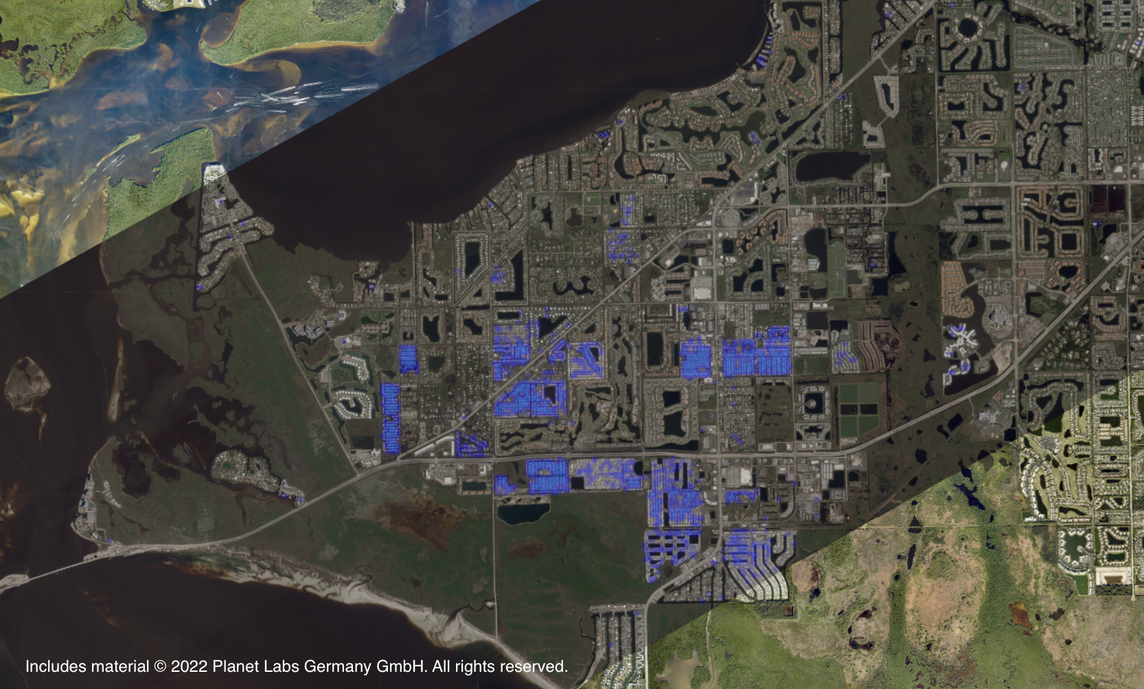
Planet Labs’ archive of Earth observation imagery (including the entire Earth’s landmass imaged every day for over six years), in combination with RAIC’s unparalleled ability to search that massive dataset, creates new possibilities for global transparency.
RAIC conducts geospatial analysis at unprecedented speed and scale. It reveals answers in archival Earth observation data that no one knew to ask at the time. With this technology, it will become more difficult than ever for U.S. adversaries to move in secrecy, not only in the skies, but also on land and water.
Now that Synthetaic and the BBC have uncovered this evidence of a large-scale surveillance program, the question becomes: what will they find next? What’s still waiting to be discovered in satellite imagery? For commercial, government, and non-profits using RAIC, the possibilities are endless.